Most married men complain about their in-laws, specifically their Mother-in-law (i.e. the mother of their wife). Rather than go into the vagaries of standard social convention, I will end it all by saying that when I married my wife I hit the "in-law lottery." My wife's parents are two of the coolest, most laid-back, accommodating people I have ever met. They are VERY hard working, every waking minute is spent working, even though they "retired" almost 15 years ago when they sold their business. They even come to my races to cheer me on!
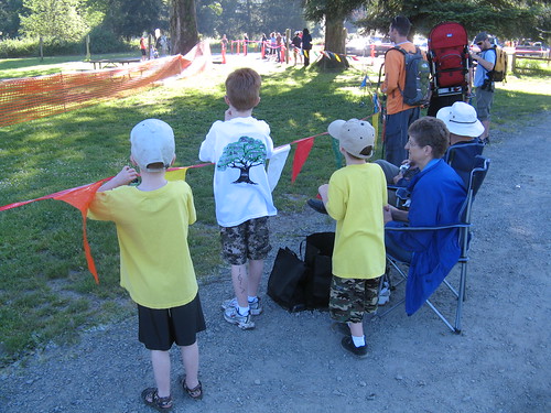 My In-laws (i.e. the Grandparents) wait with my boys at the finish of the 2009 Issaquah Tri
With that in mind...
I live in Sammamish, Washington. My wife's parents live in Tacoma, about 50 miles away (the direct route by car). Living in such close proximity allows for frequent visits to the Grandparents. And each year I tell my wife that I want to ride to their house. This has been going on for 5 years now. Well, I finally found time to do it and with a route that was relatively safe.
My first idea was the direct route, as calculated by MapMyRide. I tweaked it a bit and came up with this route via Lake Washington Blvd, the Interurban Trail, and lots of city streets through Puyallup and Tacoma to the lovely town of University Place.
Yes, there is a town called Puyallup (pronounced pew-ALL-up). It is home to THE BEST FAIR in the world, the Washington State Fair. Oh, and Fischer Scones. Gotta get me some of those... <drool>
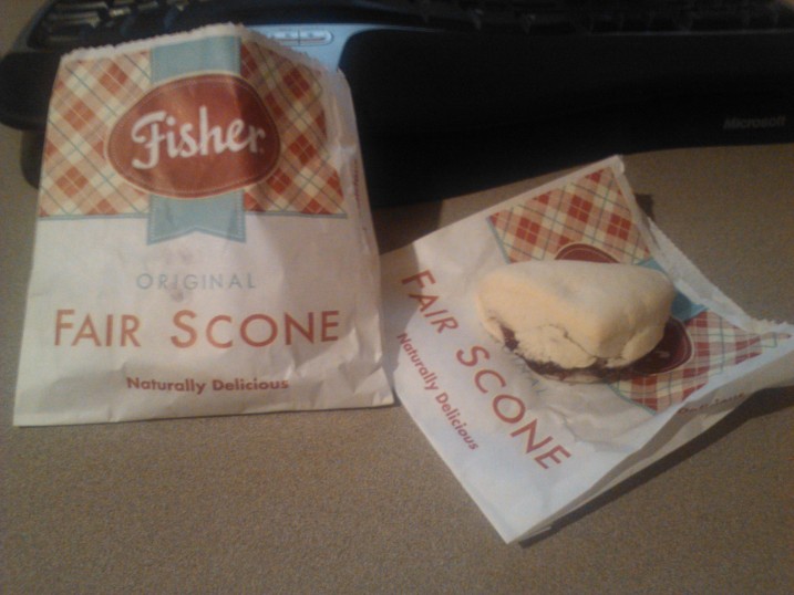 Fisher Scones at the Puyallup Fair...but I digress.
Some facts about this route-
- Distance: 63.25 miles
- Elevation gain: 1280'
- Scenic Factor: 4 out of 10
OK, I totally made up the "scenic factor" but I plan to use it again in the near future. Maybe even in this post. This route does ride along Lake Sammamish and Lake Washington, and has a nice view of Mt. Rainier off in the distance, but it is also VERY suburban in nature. The other thing about this route that bugs me is the last few miles into University Place: the bike lanes are virtually non-existent.
So I considered another option, this one involving a trip to Seattle, a couple of ferries, and an island. Oh, and a little Defiance thrown in for good measure. It came out in 3 sections: Sammamish to Seattle, Vashon Island north-to-south, and Point Defiance to University Place.
Facts about this route-
- Distance: 48.0 miles
- Elevation gain: 3021'
- Scenic Factor: 7 out of 10
This route cuts off nearly 20 miles and includes 2 ferry rides, plus it is on trails, side streets, and rural roads the entire way. Piece of cake, right? What I didn't notice about this route was that the elevation gain is DOUBLE the longer route above.
On ride day (Aug. 2, 2013) I rode into work, then took off from my office in Redmond on my way to Seattle. It figures that the day I plan to do my first big ride since my surgery was also the first day in nearly 2 months that we had any rain. Yes, I'm that good at weather planning. The interesting thing about rain in the Seattle area is that people freak out when it rains. You would think that since it rains a lot in Seattle that people would be used to it. You would be wrong...
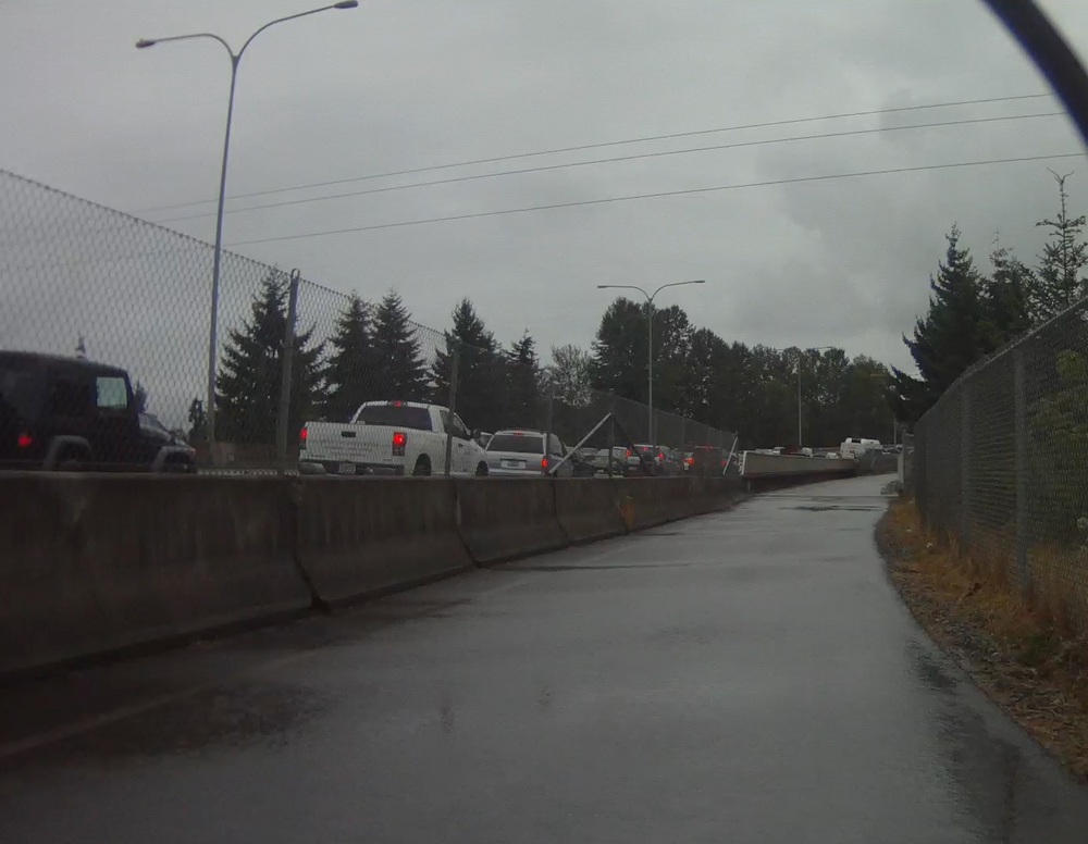 Riding the 520 trail, westbound through Bellevue, passing cars stopped on the freeway.So once again I was glad I planned to do this route on trails and side streets. The other route would have been a lot more dangerous. I still had a few city streets to navigate as I connected to various trails along the way.
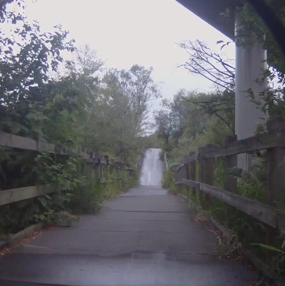
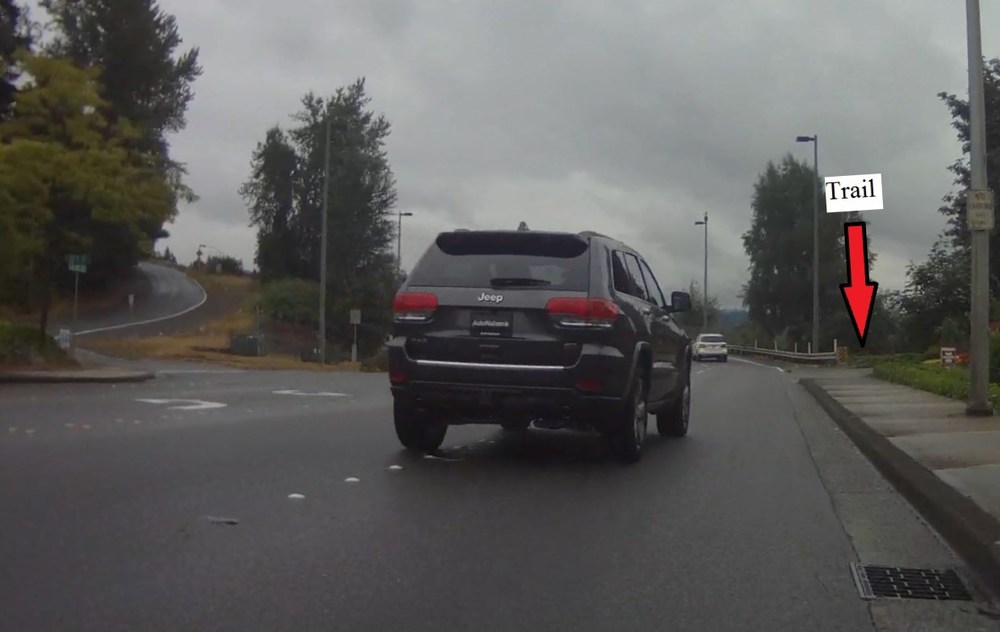 There must be a trail around here somewhere...
 Oh! There it is!
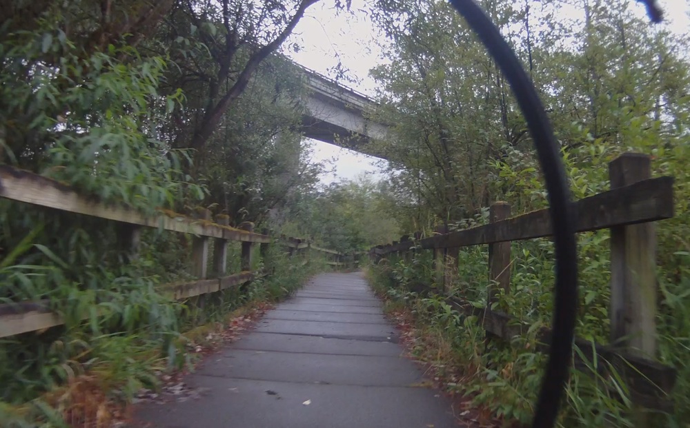
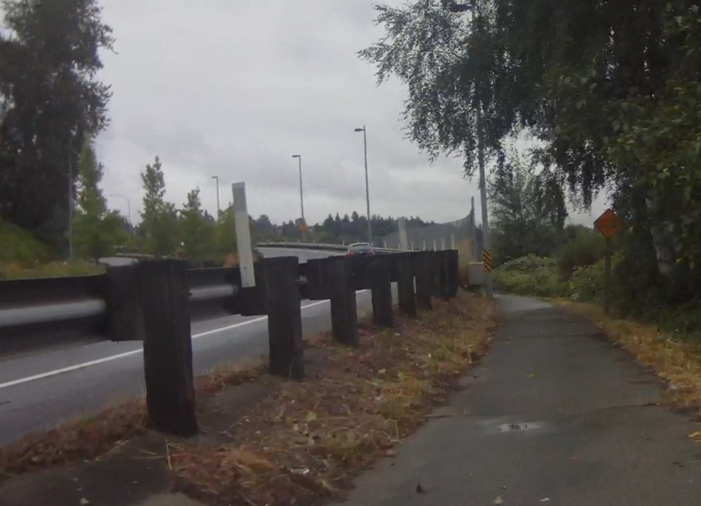 Narrow trail in Bellevue, glad there is no traffic!Through Bellevue, the Mercer Slough, and under I-90.
 Bridge over the Mercer Slough in Bellevue, WA
 Under Interstate 90 in the Mercer Slough in Bellevue, WA
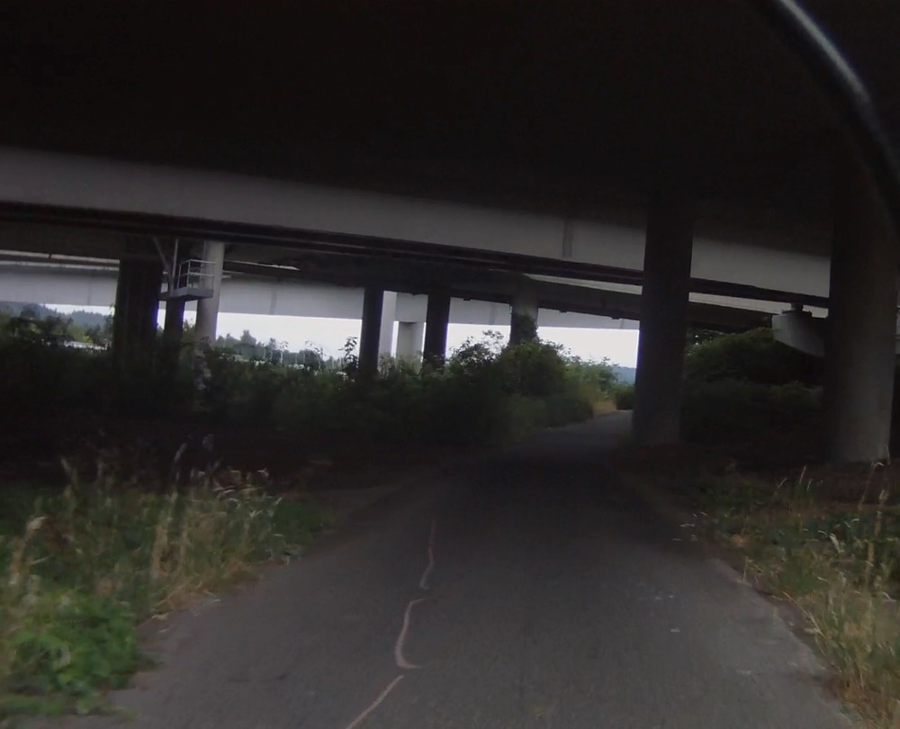 Under Interstate 90 in the Mercer Slough in Bellevue, WAThe I-90 floating bridge across Lake Washington has a bike path on the north side of the bridge, one of the most traveled bike paths in the country. It is a lot of fun to bomb down the hill, get into a tuck, and hammer across the bridge. Unless the wind is blowing in your face and you can barely keep 15 MPH.
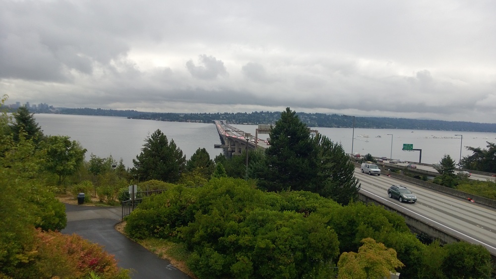 I-90 floating bridge from the Seattle side.Once on the Seattle side you have the choice between a leg-burning climb up and over the hill, with a grade approaching 20% in places, or a quick ride through a 1/4 mile long tunnel. It's not a tough choice given the distance I planned to ride.
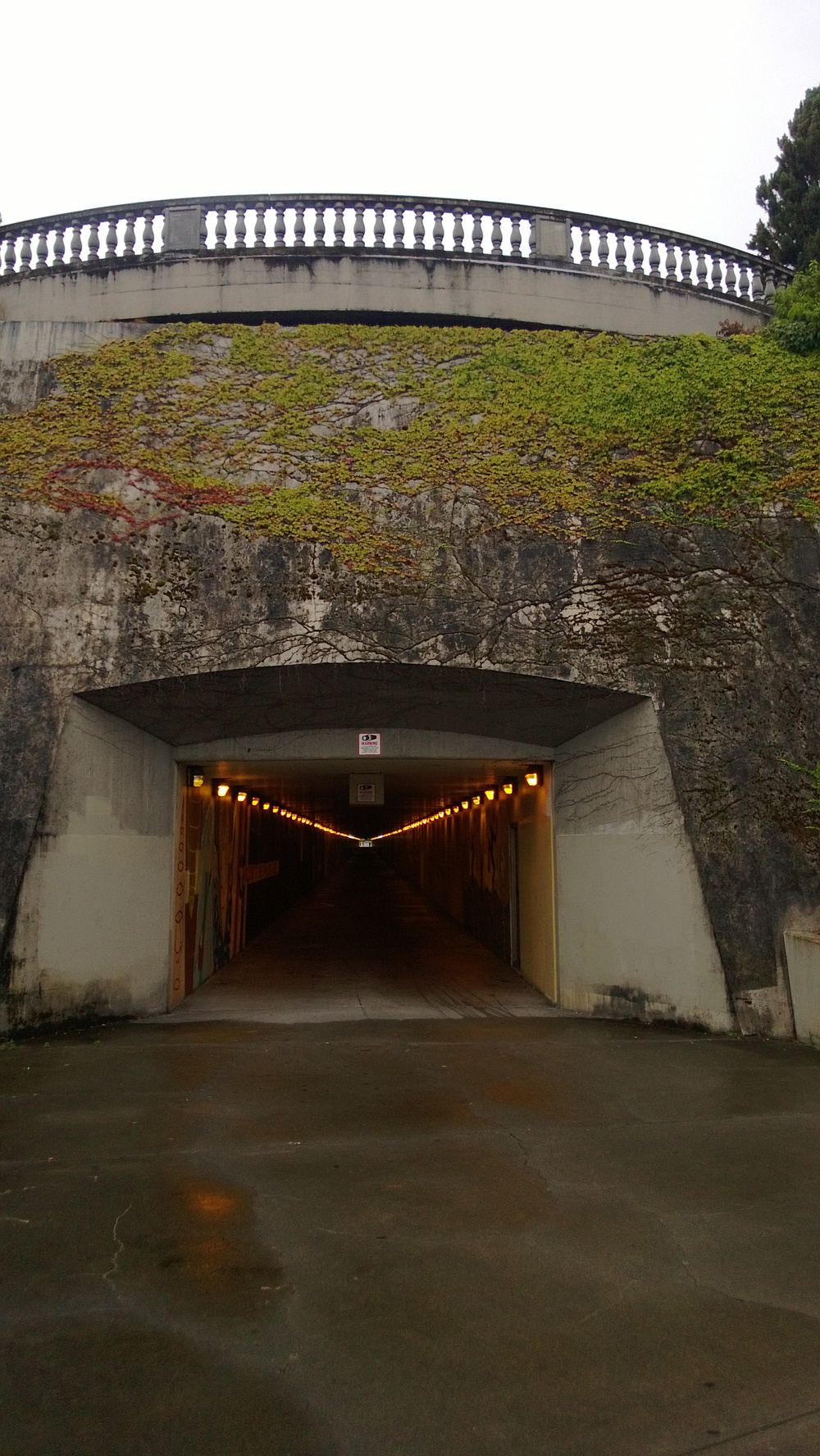 East entrance of the I-90 trail tunnel in Seattle, WAFrom the tunnel I wound my way through bike paths, making only 1 wrong turn, used a couple of side streets, avoided the ever-present road construction, and found my way to the Seattle Ferry Docks at Pier 50.
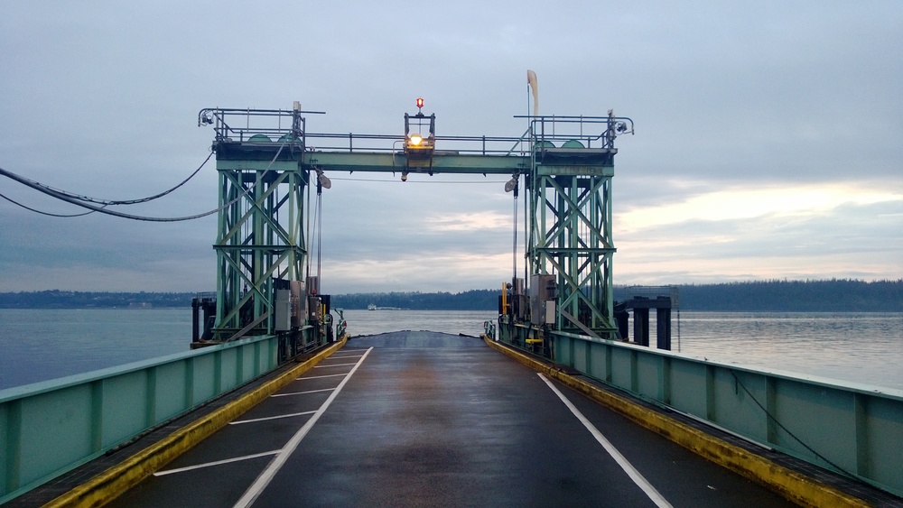
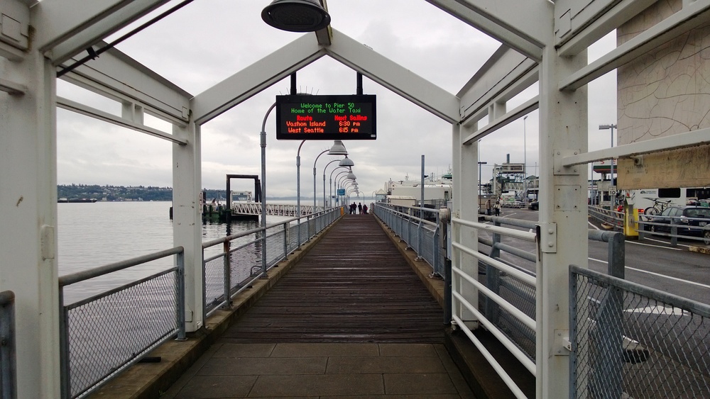 Pier 50 in Seattle, home to the Seattle-Vashon Water TaxiI missed the boat by about 10 minutes so I had the opportunity to relax my legs and take a few pictures.
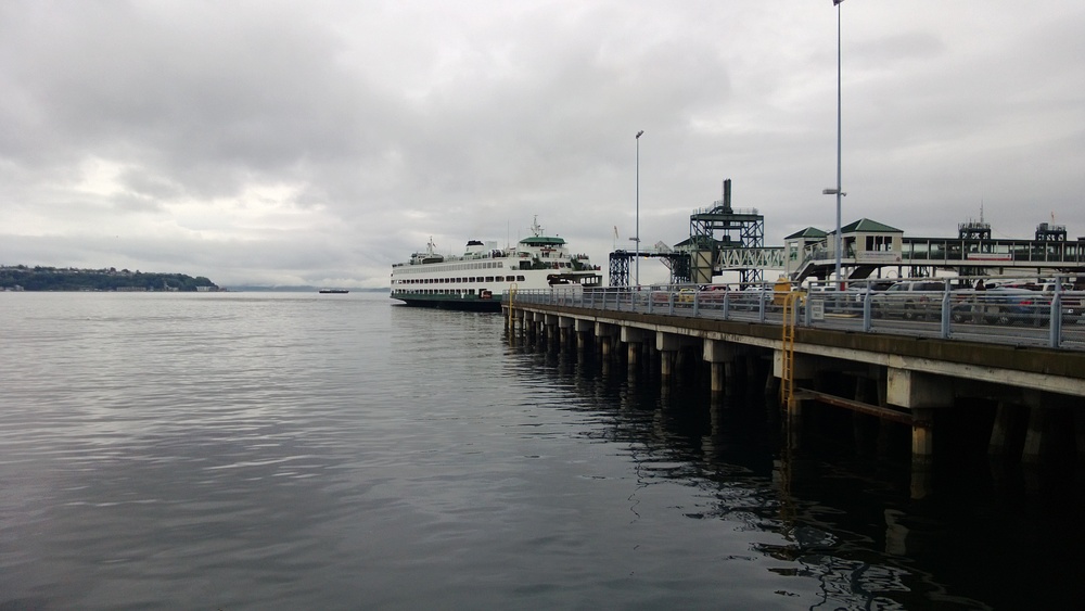 The Seattle-Bremerton ferry at Pier 50 in Seattle
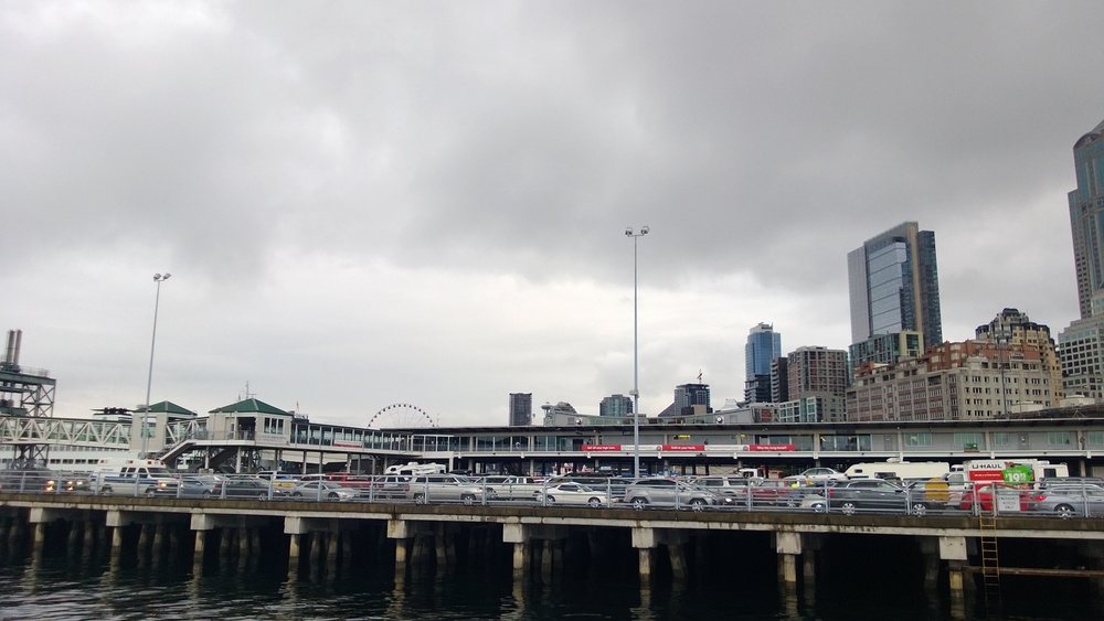 The Seattle skyline in the background with cars waiting at the Seattle ferry terminal.
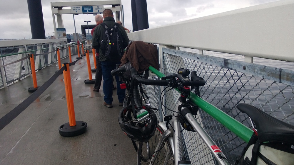 Flynn waits patiently to board the Seattle-Vashon water taxi
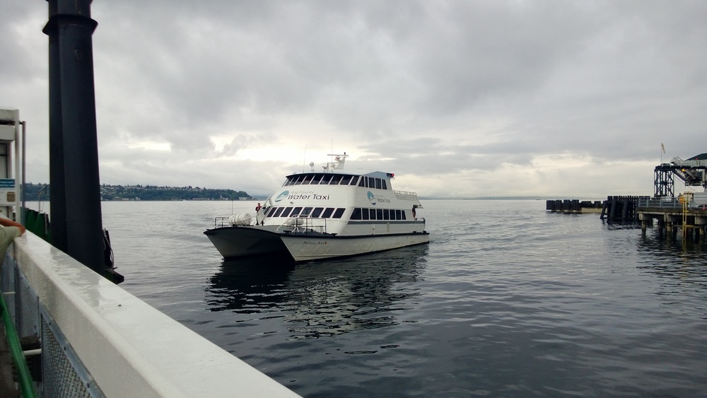 The Seattle-Vashon Water Taxi, operated by King County, arrives at Pier 50 in Seattle.Bike parking inside the water taxi was very easy...
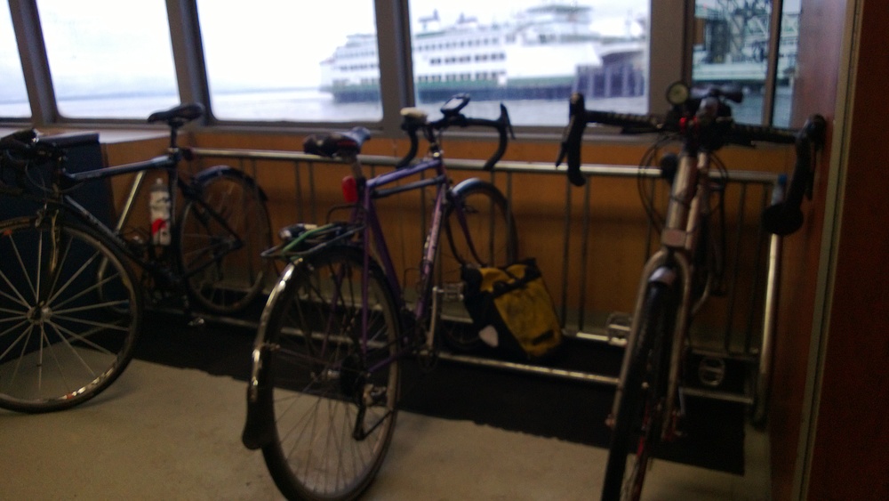 Bike rack in the Seattle-Vashon water taxiThis is where things got interesting. If I had been paying attention to my elevation profile I would have noticed that, once you reach Vashon Island, there is a HUGE climb from the ferry dock up to the main part of the island. I would have a better elevation profile to show off, and may even a Strava segment under my belt, if my Garmin Edge 705 hadn't decided to stop and restart the route in the middle of climbing. Ok, maybe it wasn't "massive" as hills go in this area but it was about a 12% grade for just over a mile, gaining 450' of elevation.
The island itself simply oozes beauty. I saw a LOT of deer...
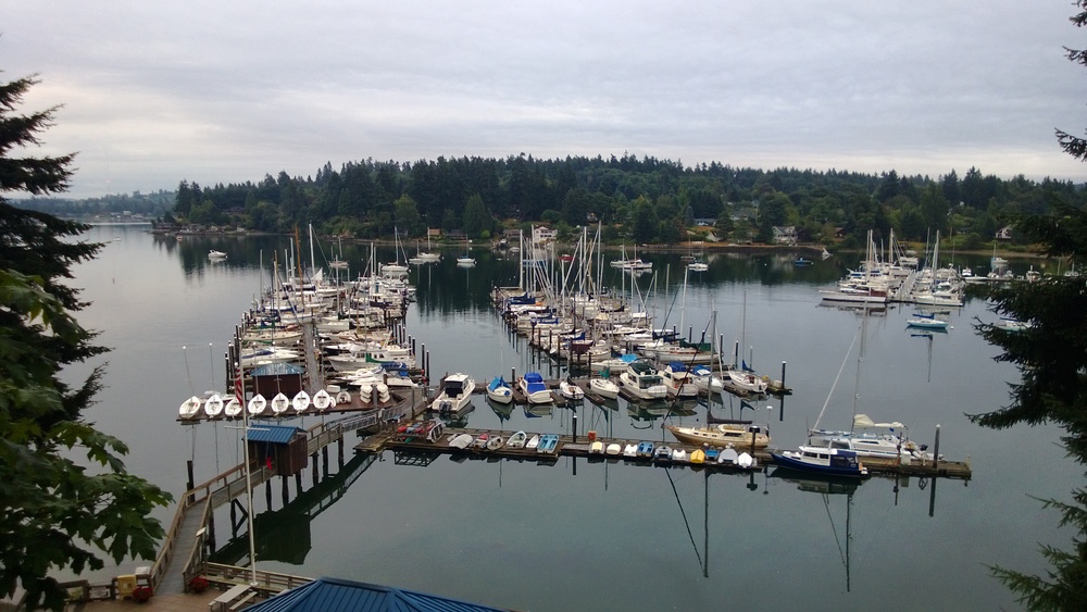
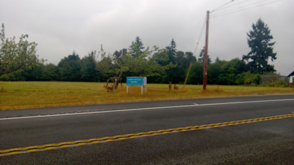 Doe and fawn along Vashon Highway on Vashon Island. My phone decided not to focus on anything of note.Anyone wanting to do some rolling-hills training should definitely consider Vashon. I don't think there was more than 50' of flat pavement anywhere on the entire route: lots of rolling hills, sweeping curves, and great vistas of Puget Sound. And halfway through I realized that Vashon "Island" should really be called "Vashon Islands" since it is really two islands smashed together. Remember that climb coming off the ferry? I got to do it again halfway down the island (450' in 1.3 miles) as I passed by this harbor/marina on the west side.
As I climbed the grade in the middle of the island I came across a "roadside attraction", as the street sign put it, which purveyed information about the history of Vashon Island and its exploration by European mariners.
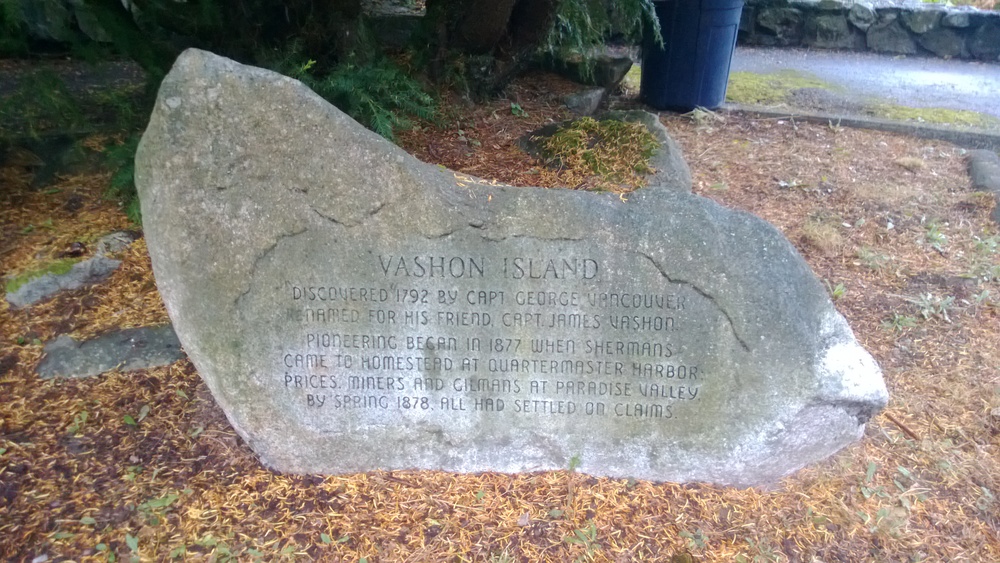 History of Vashon Island in 50 words or less.
Quite possibly the coolest thing about this island is the Vashon Island Bike Tree. I had heard rumors and stories about this bike but nothing does it justice until you see it in person. I was amazed at how small and well-preserved it is. It is actually a kids bike (tires are no more then 12" in diameter). It is definitely worth the trip and very easy to find. Unfortunately someone has removed the handlebars.
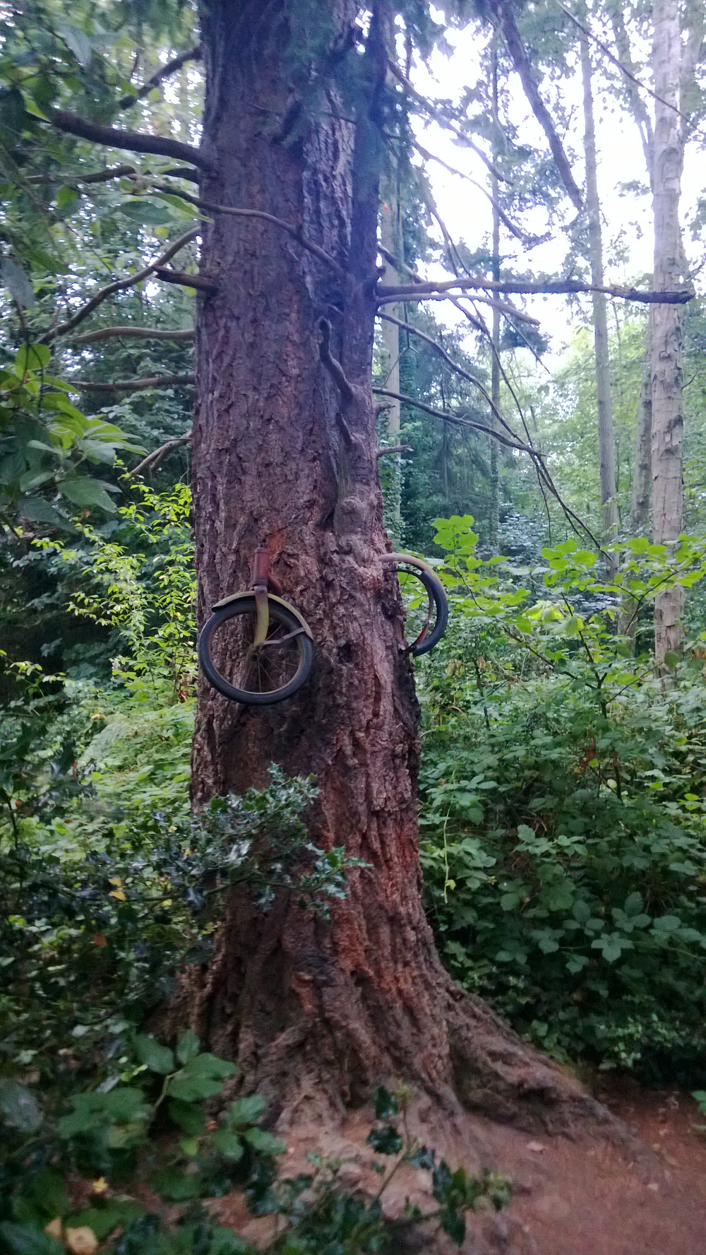 The ever elusive Vashon Island Bike Tree, in all its glory.After more rollers than I care to count I finally hit the down-hill grade that signaled the south end of the island. The Vashon-Point Defiance ferry dock was remarkably small and, to my great surprise, uninhabited.
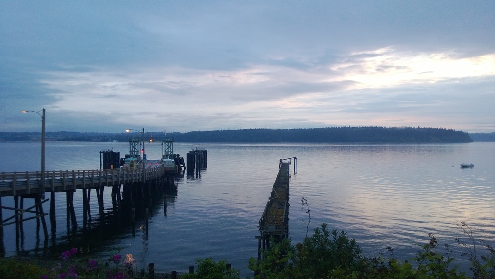 Vashon-Point Defiance Ferry dock with Point Defiance Park in the background.The ferry ride itself isn't that long but it only sails at the top of the hour. This meant I had the chance to rest some more and take a few pictures...
 Vashon Ferry dock looking across the water to the Point Defiance ferry dock, with the ferry en route.
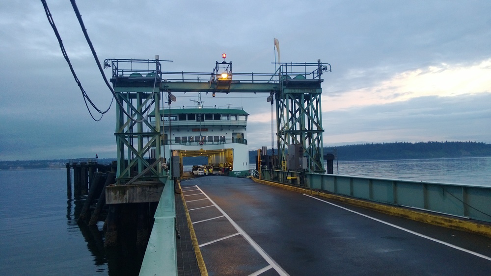
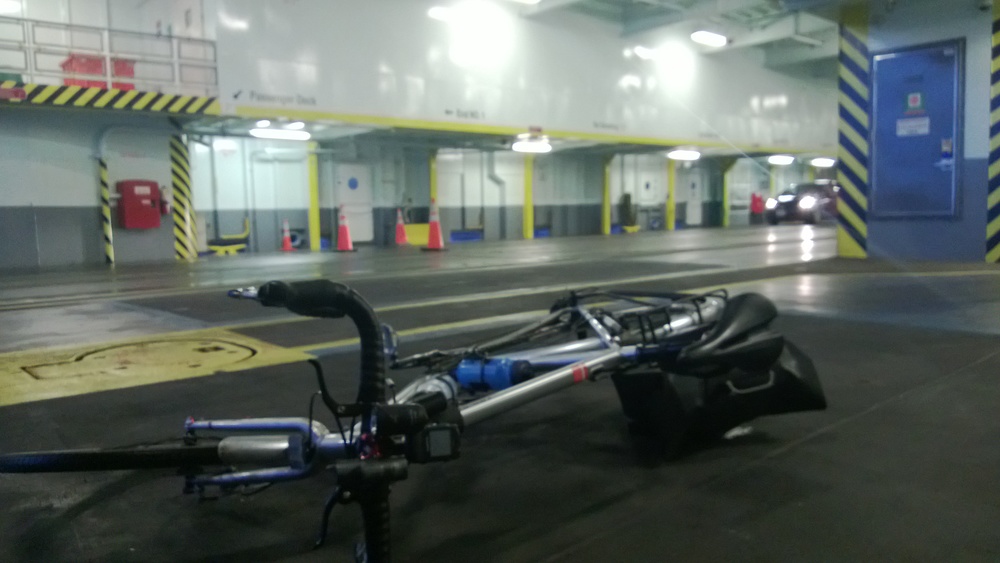
With only a handful of cars on the ferry I started out with my bike simply laying on the floor, until I noticed the bike parking area up above.
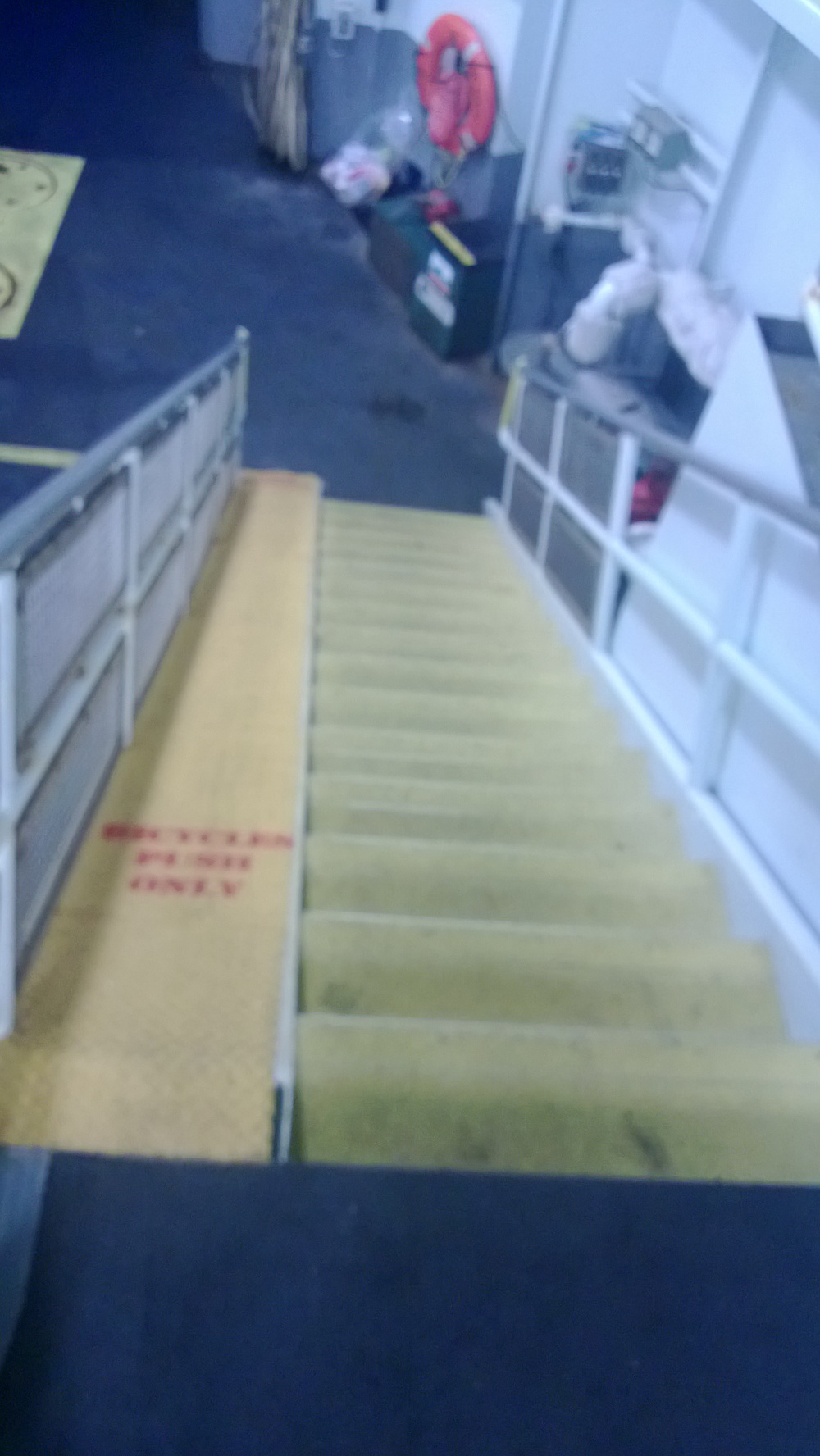 Ramp leading up to the bike parking area.
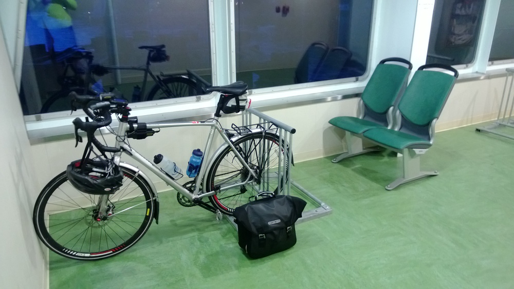 Bike Parking and seating area on the Vashon-Point Defiance Ferry.By the time I left the ferry, dusk was making it impossible to use my cell phone for pictures.
Riding out of the ferry dock I found yet another big climb of 450' over about a mile (sound familiar?). And, for future reference, when exiting the ferry at Point Defiance, use the sidwalk to make the steep climb out of the ferry area: the road is a very narrow one-lane affair. As I slogged up the hill (in the dark) the cars on the ferry (all 6 of them) backed up behind me. It was a little un-nerving to hear the pickup behind me spin his tires on the wet pavement as he stopped and started again. I exited the ferry at 9:10 pm so there was virtually no pedestrian traffic. The sidewalk would have been a much safer option.
The next 6 miles were some of the slowest I have ever ridden. The hill at the end, although only about 70', felt like 700'. My legs were cooked. Like "chicken falling off the bone" cooked. When I finally arrived at my destination I could barely stand, let alone walk.
Total distance: 46 miles
Total elevation gain: 3003'
Total time: about 5.5 hours
Total riding time: about 3:20:00
GPS routes: Part One, Part Two
Lessons learned:
- Check the elevation profile and know where the climbs are located so you can pace yourself accordingly.
- Bring more food or stop for snacks along the way: the small snacks I brought along were not nearly enough foor for a ride of this length and duration. In hind-sight I should have stopped in the small downtown area of Vashon for a break and some food.
- Yep, I'm out of shape.
In the end I'm glad to cross another ride off my bucket list. The views were amazing and it was indeed an adventure worth the effort.
Rubber-side down!
}B^)
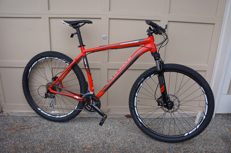 2014 Specialized RockHopper 29, my newest ride.
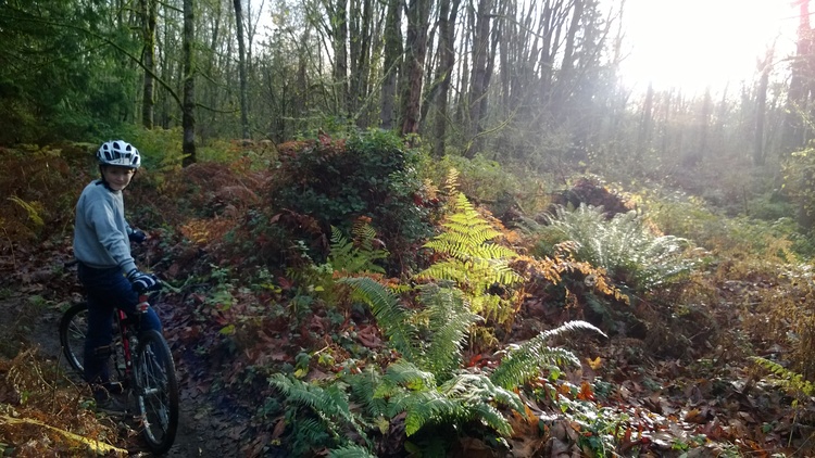 Patrick at Soaring Eagle Park in Sammamish, WA