Ride Date: 16 September 2011
Starting City: Power, OR
Ending City: Riddle, OR
Ride Stats:80.98 miles, 5200' of climbing, 6:27:42
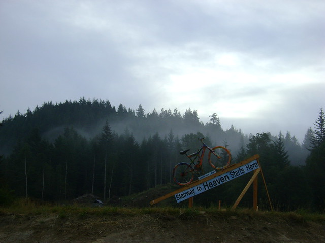
Beginning the "Stairway to Heaven" from Powers to Riddle.
Beginning the "Stairway to Heaven" from Powers to Riddle.
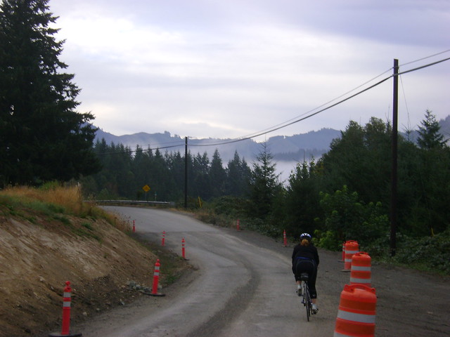
The morning started out very cold with lots of thick fog. Leaving Powers there were a lot of signs and painted bikes reminding us to come back, to be safe, have a nice day, etc. Powers really liked having Cycle Oregon in town. The local tavern reported that they received nearly 4x their normal daily sales for the day. I must say that they ice cream was yummy!
Even the local road construction crews got into the act...
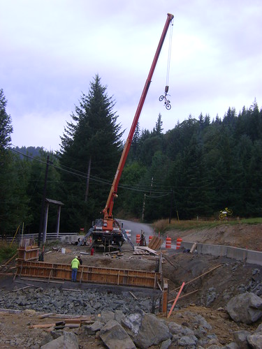
Construction site along the Powers Highway at the beginning of Day 6.
I was well on my way to be on the road by 7:30, still not as early as I hoped, but I had to stop by the mechanics tent to get my mirror fixed. The cleaning crew appears to have lost a tiny nut that holds the tension bolt which keeps the mirror lodged in my drop bar end. The Bike Gallery mechanic did a fabulous job fabricating a replacement from a plastic reflector clamp. It is still holding today!
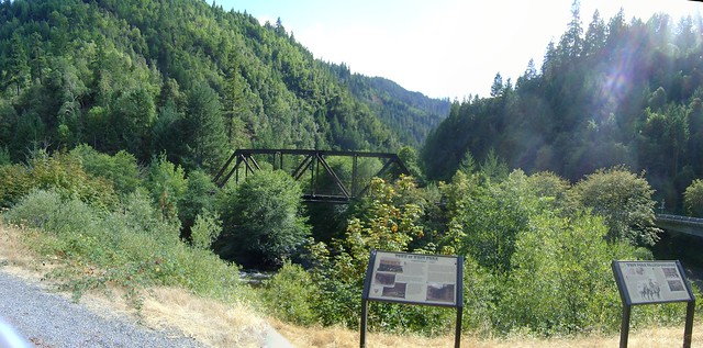
As we headed down the road we came upon a great little water fall, just a short hike off the trail. Only a few people stopped to look but it was worth the walk in bike cleats.
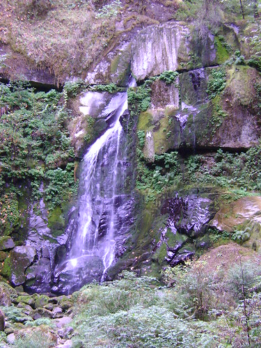
Elk Creek Falls along the Powers Highway from Powers to Riddle.
The route today follows much of the same route covered by the Tour de Fronds ride from Glendale to Powers.
The mountains around us were tall and scenic. The riding was incredible along US Forest Service roads through steep, winding river canyons. The climb started gradually and stayed pretty consistent until mile 20.
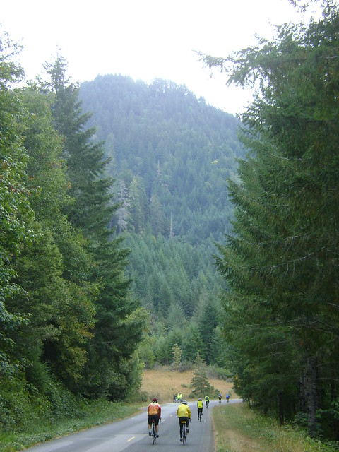
Riding up the mountains between Powers and Riddle, OR.
Right around mile 18 the grade went from 3-5% to 7-10% for about 4 miles before switching back to a manageable 2-4%.
No sightings of wildlife, but we did see painted on the road, "bigfoot crossing" followed by painted footprints.
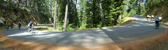
Riding up the mountains between Powers and Riddle, OR.
As we climbed higher into the sky the views opened up. Several bare sections showed evidence of wildfires in recent years. The last 5 miles of the climb pitched up to 9% again, which made for slow going.
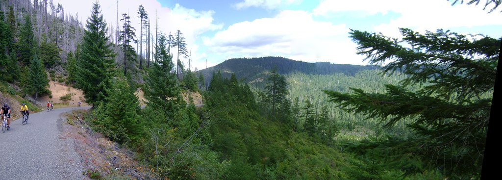
Riding up the mountains between Powers and Riddle, OR.
Finally we reached the summit, the intersection of 2 roads at Mount Bolivar.
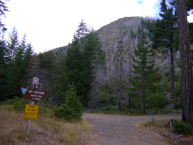
Mount Bolivar at the summit of Day 6 between Powers and Riddle, OR.At the summit of Day 6 between Powers and Riddle, OR.Even after 40 miles of climbing, this is where the hardest part of the day started: mile after mile of incredibly steep downhill sections, some approaching 15%, but with the added difficulty of very winding roads. Oh, and it was almost ALL chipseal for the entire day on switch back after switch back...
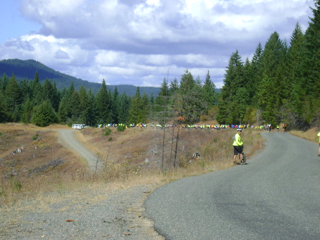
Riding down the mountain into Riddle, OR. All bike and vehicle traffic was stopped at this point while crews worked on a bike accident.
While riding today I saw 3 ambulances today working on riders, 2 of which did not appear to be in dangerous situations. The one in the picture above blocked the road for some time. Cycle Oregon is really big on privacy so I never was able to find out what happened to these riders.
Heard on the ride today: "Chip seal = Oregon's cobblestones."
Riding down the mountain into Riddle, OR.
At mile 55 the grade lessened to a very easy 1-2%. The last 21 miles were slightly downhill following Cow Creek into Riddle. I did quite a few of my "standing 10 counts" again trying to keep my legs from seizing up with cramps.
Looking back at the rest stop across Cow Creek.As we came into Riddle we passed a large lumber mill that was actually working!
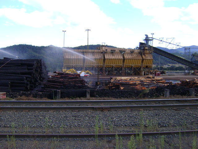
Log deck at Billboard Lumber Products, a lumber mill outside Riddle, OR.
With the late start and long day I didn't make it to camp until 5:30. Wow, was I beat. That long climb really sucked the energy out of me. I showered, changed, and wandered my way over to find dinner.
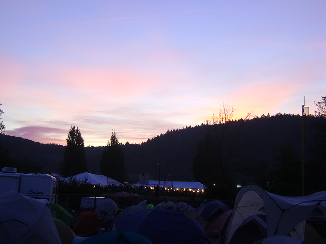
Sunset over Cycle Oregon tent city in Riddle, OR.
As with Reedsport, where I also arrived late and was out of gas, I did not venture out into the town. As the sun went down I could tell that I was in need of an early bed time.
At the closing evening of Cycle Oregon Jonathan gave us his traditional hint for next year. This is not exact but it is what I wrote down on my phone at the time-
"A seed of a clue. That hill we climbed today was too short. One day next year we are going to climb higher, longer, without backtracking, than we ever have." - Jonathan Nicholas
Let the speculation begin! I made my own prediction on the Cycle Oregon Forum.
Jonathan also spoke about walking the Oregon trail, the Oregon promise and the purpose of Cycle Oregon (supporting these struggling communities).
He referred to dams being removed in Oregon, which got me looking for other dam removal projects. I found information about the Condit Dam in Washington state, including a cool time lapse of the water going out from the dam and the lake receding.
When the band started playing I didn't even wait to see if they were any good: I went straight to bed.
Highlights:
Great scenery.
Incredible climbs.
Lowlights:
VERY difficult desent.
Somehow left my Garmin running all night, impacted my battery life on Day 7.
}B^)